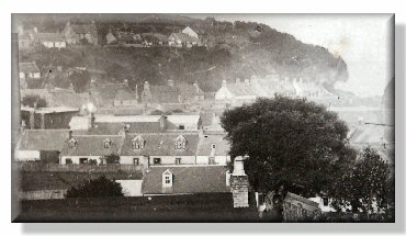
View across Avoch to the East. Park Street is in the foreground, Geddestown in the background and the wool factory chimney can just be seen at the extreme left. At the extreme right, just visible, is the dark sail of a sailing boat entering the harbour.
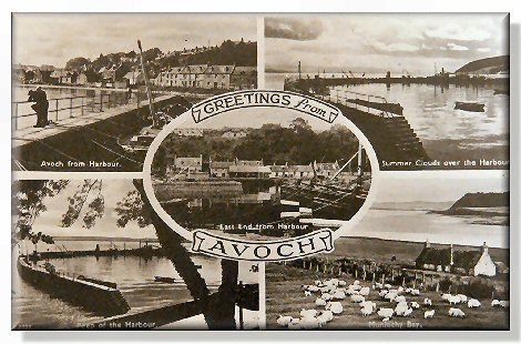
Greetings from Avoch
View from Braehead. This picture was probably taken about the end of the 19th century. The boats drawn up on the shore are open undecked “scaffies”. The large building in the foreground was built as a harbour warehouse in 1813. It later became a ship’s chandlers, and is now converted into flats
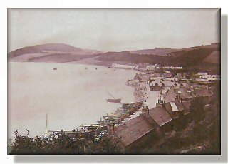
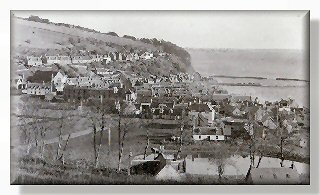
Right – view of Avoch from the west, this photograph shows the large piggery (centre front); the harbour and the thatched cottages of the Dock area, Geddeston and part of the wool factory can be seen to the left.
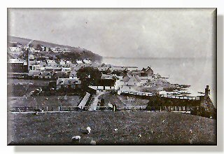
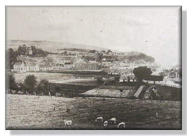
A later view of the same scene showing the development of the village. Geddes Mill with its stack chimney has been turned into housing for residents; the piggery has completely disappeared and in its place there is a boating/paddling pond. Even the old thatches of the Dock cottages have changed to slate!
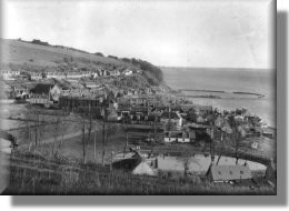
Another view across Avoch towards the east.
View of the pond, which is now a children’s play area and recreation ground.
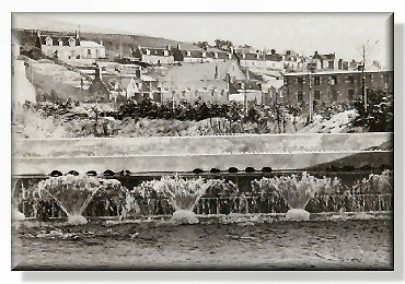
Fountains in the burn, Long Road, 1950s
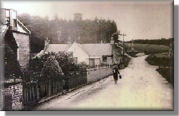
Netta Sutherland, bringing home the milk from Toll Farm.
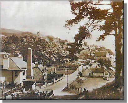
View from the old Free Church, showing the War Memorial. The Toll Farm farmhouse is visible on the right and the farm buildings on the left. The farm supplied milk for the village, and was run by the MacDonald family. The farm house and farm buildings were demolished in the 1930s to make way for new housing.